
Inclination and azimuth are terms used in steering navigation to describe the orientation and direction of objects or points in space, with respect to a reference plane:
- Inclination:
- Definition: Inclination (aka pitch) refers to the angle or degree of tilt or deviation from a reference plane, typically measured in degrees or percent. It is used to describe how an object deviates from being perfectly horizontal or vertical. The reference plane is typically the horizontal plane, however with some steering technology taken from vertical drilling methods, the vertical plane may be referenced occasionally.
- Example: When discussing an entry angle, an inclination of -14 degrees means that the profile slopes downwards at a 14-degree angle from the horizontal plane.
- Azimuth:
- Definition: Azimuth is a directional angle that measures the horizontal angle or bearing of an object or point from a reference point or direction, usually measured in degrees clockwise from true north.
- Example: In navigation, azimuth is used to determine the direction of a compass heading. For example, if an object has an azimuth of 90 degrees, it is located due east from the reference point. Azimuth measurements are used to steer horizontally curved pipe alignments.
In summary, inclination measures the angular tilt of an object upwards or downwards as seen on the profile (elevation) view of a design drawing, while azimuth describes the angular direction often measured in degrees clockwise from north as seen on the alignment (plan) view of a design drawing. These terms are essential in various fields for specifying orientations and directions.
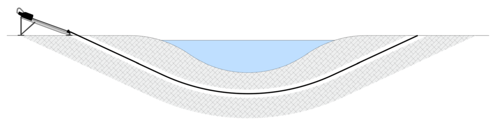
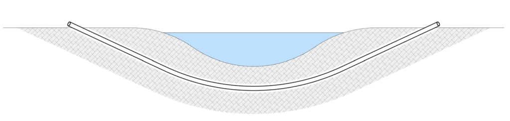
In trenchless installation methods, where visual confirmation of the pipe’s position is not feasible, the pipeline’s alignment relies on the precise measurement of inclination and azimuth angles using specialised tools and techniques. These measured angles are subsequently used in trigonometric calculations to establish the pipeline’s precise trajectory, starting from a known entry reference point, and extending along the designated route until it reaches the exit point. This method ensures the accurate positioning of the pipeline throughout the construction process.
